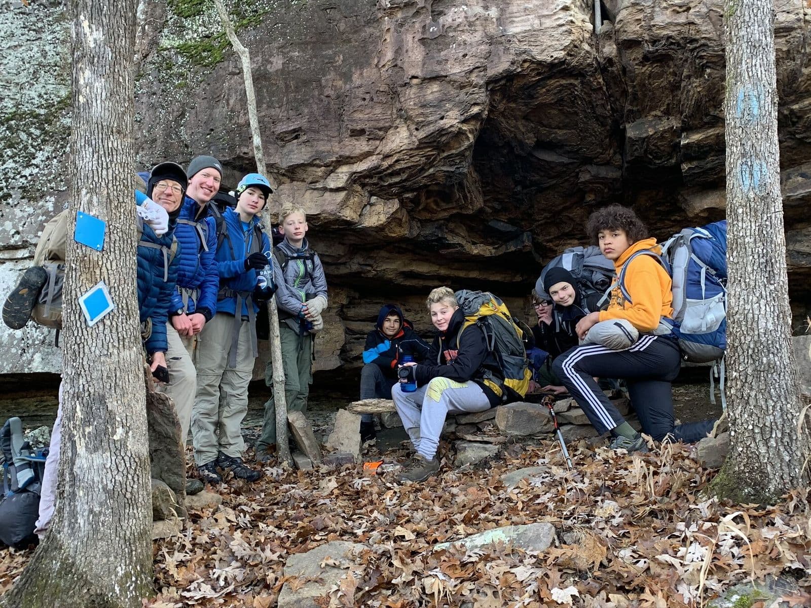
Backpacking crew resting beneath an Ozark rock shelter
← All trails

Arkansas · United States

Butterfield Trail

A forested loop through creek bottoms and historic Ozark terrain.
Route map
Open map ↗
Bluffs and hardwood forest from Bill’s Arkansas trail archive.Last reviewed August 2026

Field orientation

Know the route. Read the terrain.

This classic overnight loop begins in Devil’s Den State Park and spends much of its mileage in the Ozark National Forest. The route follows portions of the historic Butterfield Overland Mail corridor through stream valleys, sandstone bluffs, hardwood forest, and secluded backcountry camps.

BEFORE YOU GO

Register at the park, confirm current permit requirements, and expect creek crossings and uneven terrain.

Verify current conditions

Closures, permits, weather, water, access, and regulations can change. Use the official land-manager source before every trip.

Lesson from the terrain

Fundamentals create freedom.

Reliable pacing, water, navigation, and camp systems let a crew enjoy the terrain instead of constantly recovering from preventable problems.

Related field tool · Playbook BuilderExplore The Map vs. the Terrain

Prepare beyond the route

Build the rest of the trip

Trip planningTrail skillsTrail mealsLeader toolkit