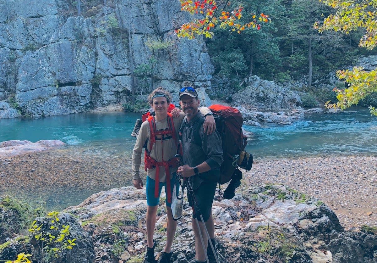
Backpacking crew beside a clear Ozark river
← All trails

Arkansas · United States

Eagle Rock Loop / Little Missouri

A rugged Ouachita loop shaped by river crossings, ridgelines, and changing conditions.
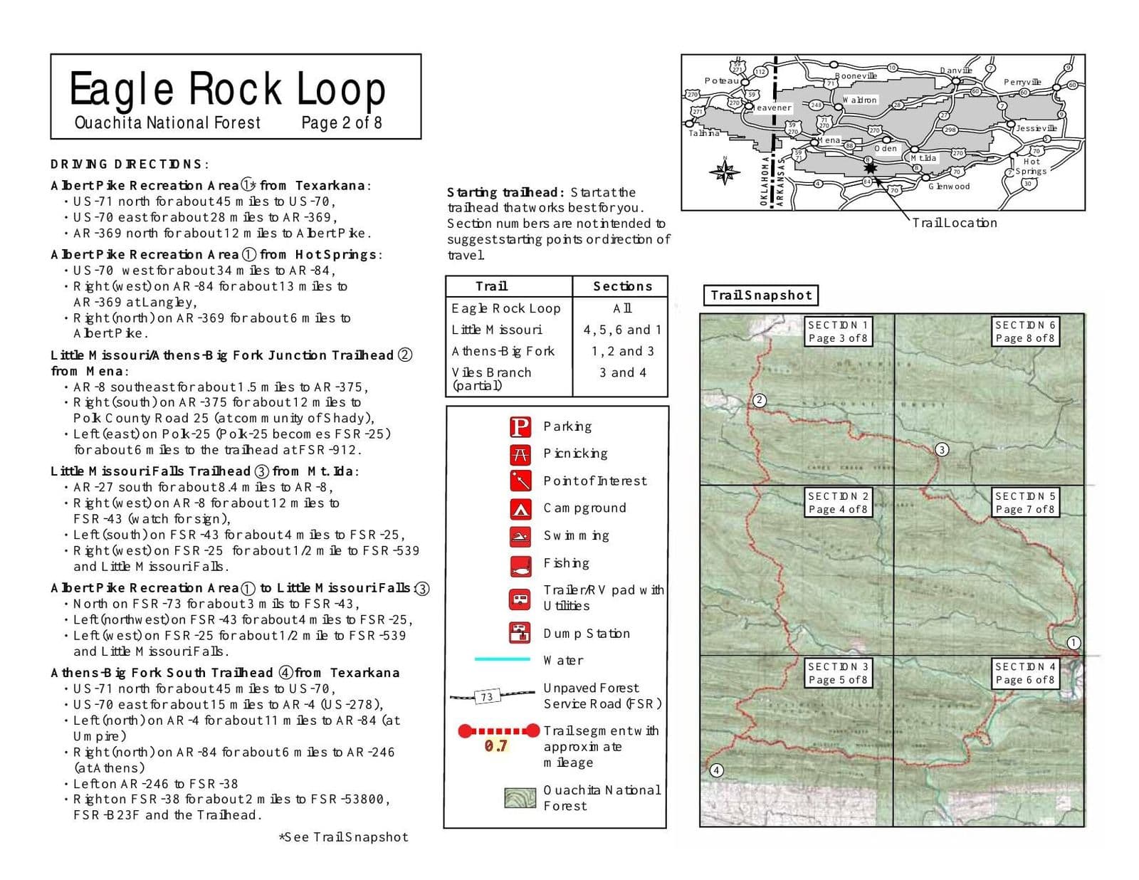
Eagle Rock Loop route overview mapOpen map ↗
River crossings and crew movement shape the Eagle Rock Loop experience.Last reviewed August 2026

Field orientation

Know the route. Read the terrain.

Arkansas’s longest loop trail combines the Little Missouri, Athens–Big Fork, and Viles Branch trails. The circuit crosses the Little Missouri River and several creeks, then climbs over nine ridges through the Ouachita National Forest. It is a rewarding multi-day backpack with swimming holes, forest camps, steep pitches, and water levels that can quickly change the character of the route.

BEFORE YOU GO

River crossings can become dangerous after heavy rain. Check water levels and weather before entering the loop.

Verify current conditions

Closures, permits, weather, water, access, and regulations can change. Use the official land-manager source before every trip.

Lesson from the terrain

Conditions get a vote.

A route built around river crossings makes one truth unavoidable: the plan is provisional. Good crews know the intent, watch the terrain, and adjust before momentum becomes risk.

Related field tool · Leader’s IntentExplore The Map vs. the Terrain

Prepare beyond the route

Build the rest of the trip

Trip planningTrail skillsTrail mealsLeader toolkit