Field orientation
Know the route. Read the terrain.
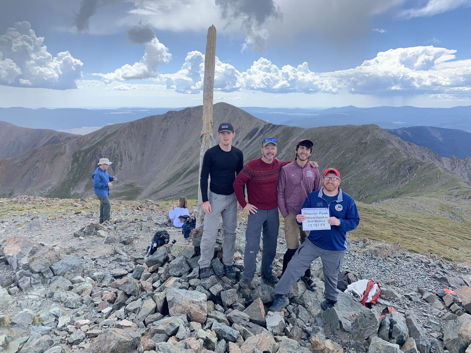
From the East Fork of the Red River, this backcountry approach climbs gradually through forest to Horseshoe Lake beneath Wheeler Peak. Strong hikers can continue into the high alpine country near Mount Walter and New Mexico’s 13,167-foot high point, creating an overnight route that trades crowds for distance and sustained elevation.
BEFORE YOU GO
This is high-elevation wilderness. Acclimatize, start early, and be prepared for thunderstorms and rapid weather changes.
Verify current conditions
Closures, permits, weather, water, access, and regulations can change. Use the official land-manager source before every trip.