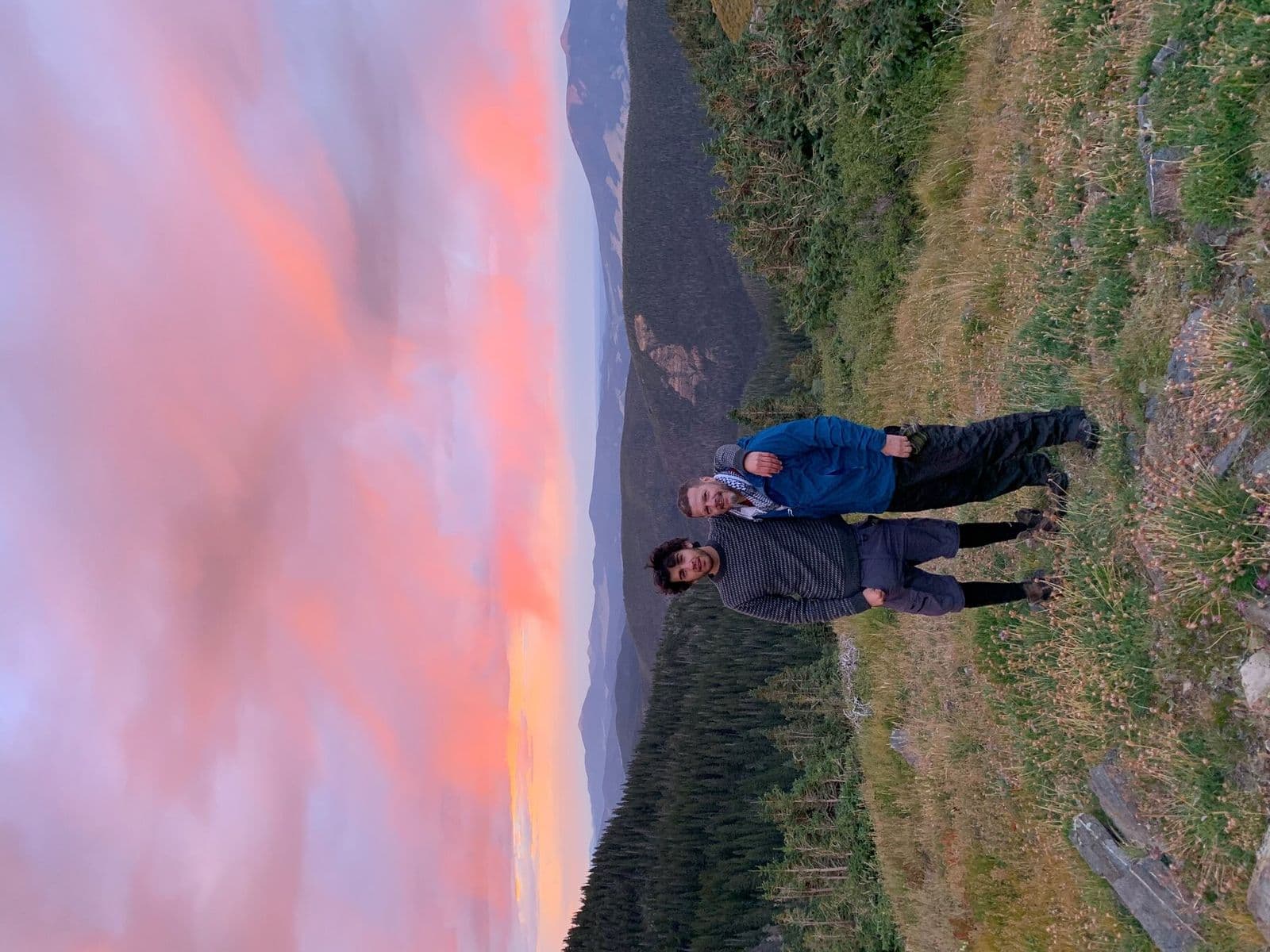
Hikers standing in exposed terrain at sunset
← All trails

North Island · New Zealand

Tongariro Alpine Crossing

Volcanic terrain, exposed ridges, and a landscape unlike any other in the guide.
Route map
Open map ↗
Exposed terrain from Bill’s field archive reflects the Crossing’s weather-driven character.Last reviewed August 2026

Field orientation

Know the route. Read the terrain.

This point-to-point crossing travels through an active volcanic landscape of lava flows, craters, ridges, emerald-colored lakes, and alpine desert. The 12-mile day demands sustained climbing to Red Crater, careful footing on loose volcanic ground, and advance shuttle planning.

BEFORE YOU GO

Weather changes rapidly. From May through October, alpine skills and usually a guide are essential. Respect the cultural significance of the peaks and do not climb them.

Verify current conditions

Closures, permits, weather, water, access, and regulations can change. Use the official land-manager source before every trip.

Lesson from the terrain

Respect is a planning discipline.

Volcanic terrain, fast weather, and cultural significance all constrain the route. Preparation begins by accepting what the landscape requires.

Related field tool · Guiding PrinciplesExplore The Map vs. the Terrain

Prepare beyond the route

Build the rest of the trip

Trip planningTrail skillsTrail mealsLeader toolkit